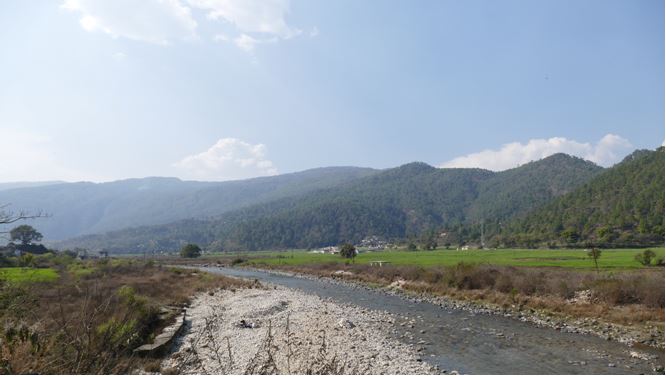
Development of flood warning systems for Agartala and Kailashahar, Tripura under National Hydrology Project.
a)Predicting the inflow and incoming volume of floods with the help of sophisticated technology and software can be a game-changer in minimising the adverse effects caused by floods. Realtime inflow forecasting allows communities to be prepared and ready with the right strategies and infrastructure in place. Jomiso boasts of a team of experts that have the experience and the capability to design the best-in-class systems to locate risks, estimate expected damages, forecast floods and inundation phenomena. These are identified based on real-time analysis of meteorological situations and forecasts available at different time and space scales
b)Developing and operationalising flood forecasting systems.
c)Installation and integration of real-time data acquisition systems that included hydro-met sensors.
d)Development of metrological forecast model-based systems that automatically disseminate warnings to relevant stakeholders through mobile apps and SMS services depending on the anticipated level of severity.
e)Development of maps showing flood inundations corresponding to floods of various return periods as a basis for flood plain regulatory management.
f)Community awareness training and events to ensure effective implementation of the flood warning and evacuation systems.
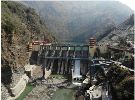
Water accounting and Integrated Reservoir operations for Narmadha River Basin.
a)The set up of a water accounting model for the Narmada Basin using the modern river basin modelling approach and the best available tools and technologies for eventual use as both a planning and a low flow season operational tool.
b)The use of selected tools to find optimal operating rules for significant structures in the Narmada Basin.
c)To develop real-time application reservoir operation tools, including necessary dashboards.
d)To provide training to the NCA officials on using the tools and troubleshooting.
Physical based Mathematical Modelling for Estimation of Sediment Rate and Sediment Transport in Seven River Basins under NHP.
a)The Project objective is to Establish a methodology for modelling of sediment generation from catchments, its transportation mechanism through channels/rivers and its retention/deposition by flood water retention structures like reservoirs across seven river basins in India Study and modelling of sediment generation from catchment.
It involved:
Study and modelling of the sediment (both suspended load and bedload), its generation, transport and deposition mechanism through rivers. Study and modelling of sediment deposition due to interventions and structures. The research and modelling of morphological characteristics of the rivers. Identification of Critical reaches for erosion and sedimentation with major causative physiographic parameters of the catchment and bed like erosion area, LULC and its change, soil type, erosion length of the river, flow velocity, change in riverbed gradient etc.
Identification of the most suitable sedimentation/ morphological modelling model under the Indian conditions of topography, geology, meteorology and data availability. Detailed analysis of historical remote sensing imageries for river morphology and riverbank shifting. This would also explore earlier patterns of meandering.
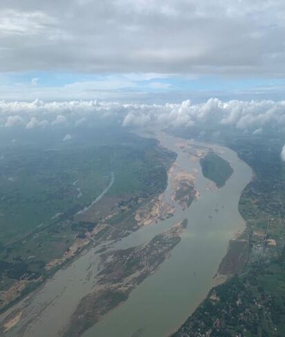
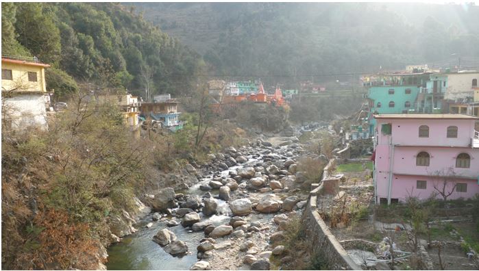
Develop Inflow Forecasting System & Inundation Forecasting downstream of Ranjit Sagar DAM .
a)Automatically get input data from different land-based telemetering observation stations as well as web addresses.
b)Automatically calibrate and validate itself based on most recent observations and forecasts.
c)Automatically generate outputs through model run at specified times in a day.
d)Automatically update results to India WRIS and new web portal developed for Ranjit Sagar Dam Project.
e)Design an optimal hydro-meteorological network comprising telemetering digital water level recorders of the radar type and rain gauges in the catchment area draining into River Ravi downstream of Ranjit Sagar Dam .
f)Establish a suitable network of rain gauge, river gauge and automatic weather stations to allow calibration and validation of the results of the inflow forecasting model for the reservoirs.
g)Development and operationalisation of flood inundation forecasting system for the area lying downstream of Ranjit Sagar Dam, Ravi river .
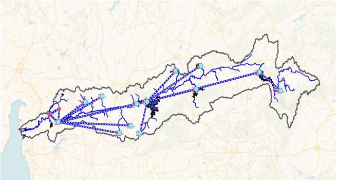
Carry out Pressure/ Impact Analysis and Risk Assessment of Key Water Management Issues in the Ramganga Basin using RBM Cycle Approach.
a)Carry out Basin Characterisation of the Ramganga Basin partly based on existing information. The characterisation will describe the situation in the basin regarding key aspects including water quality and quantity and possible impacts on water resources in the basin.
b)Detailed Pressure and Impact Analysis and Risk Assessment for two selected Key Water Management Issues in the Ramganga Basin
Feasibility Study Report to Alleviate Flooding in Imphal City Arising out of Drainage Congestion .
Identify the critical locations of flooding, reasons for drainage congestion within the Imphal city and provide comprehensive solutions that will relieve the city from flooding by way of reduction in extent and duration of flooding.
a)Identification of Critical Locations for flooding.
b)Hydrological Modelling and analysis to determine the flood discharge Hydraulic Modeling and validation of results with available observations.
c)Modelling of alternative solutions.
d)Determining the best alternative and submission of Feasibility study report.
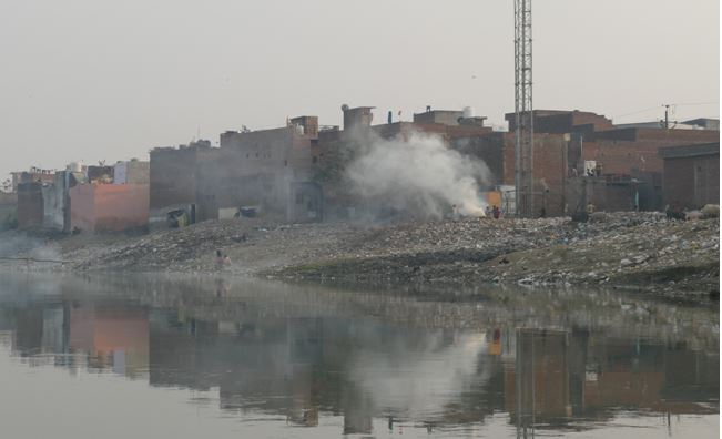
Develop Strategy Paper to Deal with Pollution Accidents in Ramganga River Basin .
a)Development of a proposal clearly defining responsibilities of NMCG for efficient crisis management due to pollution accidents in Ganga Basin. .
b)An implementable strategy paper to deal with pollution accidents in Ramganga Basin is available with NMCG. .
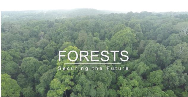
Development of Low-Cost Monitoring System for Forest Management for Forest Plus 2.0.
a)Development of low-cost monitoring systems (web-based and mobile application based) for forest management for Bihar and Telangana Forest Department.
b)Low-cost monitoring system to monitor results of forest management interventions (e.g., afforestation) and other aspects of forest management in recorded forest areas.
c)Low-cost monitoring system for monitoring land-use practices outside forest lands (such as agroforestry plantations, afforestation of private land, commercial plantations, perennial horticulture, and trees outside forests).